Understanding this ancient natural landscape

Did you have a personal connection to Pont du Gard before you started working at the site?
V.M: The Pont du Gard is France's most visited ancient monument, and is particularly popular with international tourists, attracted by its inclusion on UNESCO's World Heritage List in 1985. But the site is also very popular with the locals. It's a site that has become rooted in the collective consciousness of Nîmes' residents. I am from Nîmes. My childhood was full of such visits to Pont du Gard: happy Sundays, the cold river water, but most of all a feeling of frailty when faced with the sheer magnitude of the monument.
How do you come to terms with such a powerful, natural site that has become almost sacrosanct thanks to the presence of an extraordinary monument, like the Pont du Gard?
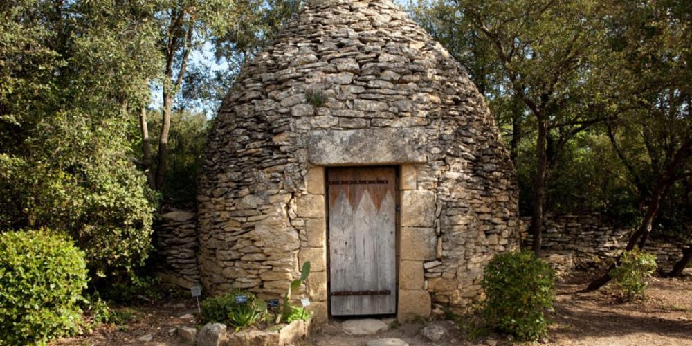
V.M: It does take time to truly coming to terms with a site like this. You scour the landscape for thousands of details which help you to understand the history of the place. Although archaeological research has provided quite a lot of information about the history of the Pont du Gard, the same cannot be said of the garrigue that makes up the surrounding landscape. We've been able to reconstruct a history of this landscape by searching through literature, surveying the site, questioning residents from surrounding areas, speaking to local "intellectuals," and, sometimes, stumbling across information purely by chance.
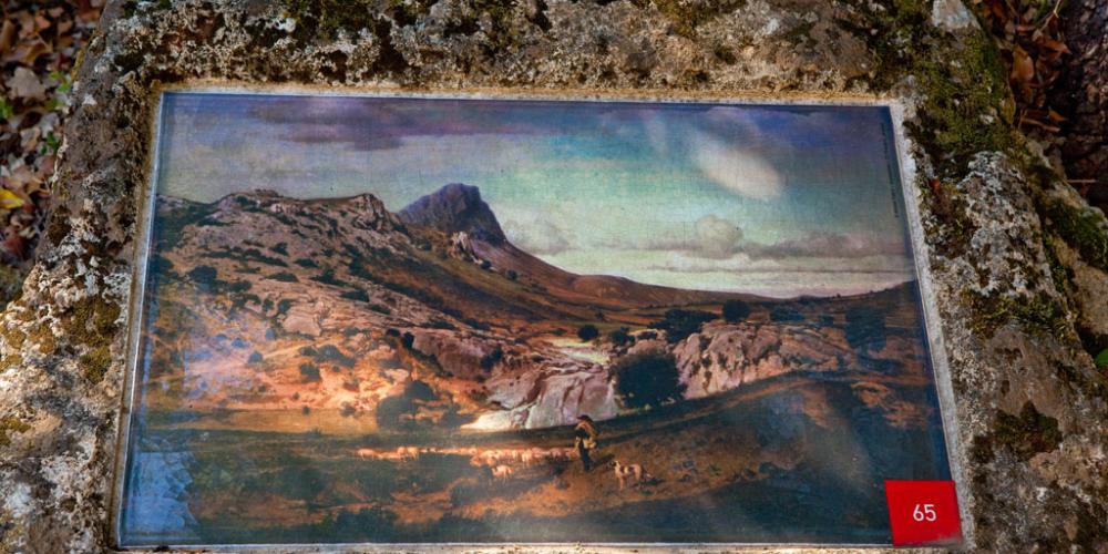
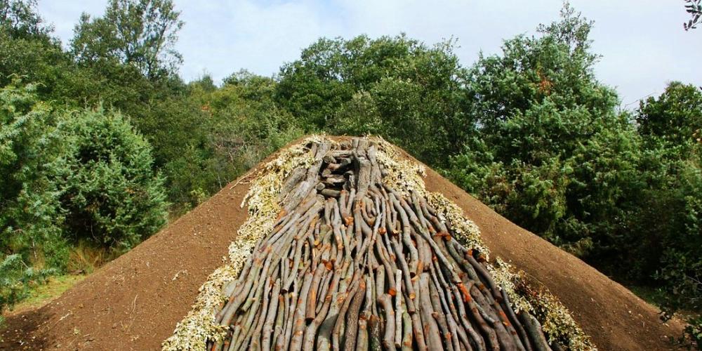
The history of this landscape is much older than the history of the aqueduct, which makes the last 2000 years seem almost insignificant in comparison; it's a history that involves generations of local communities, farmers, forest workers and shepherds etc.
We also had to observe and identify different uses, spot possible conflict situations (cars vs pedestrians, local users vs tourists) and evaluate their impact so that we could propose a development plan that was both fair and reassuring, and respectful of the site and its history.
How would you describe the specific components that make up the landscape and natural area of the Pont du Gard?
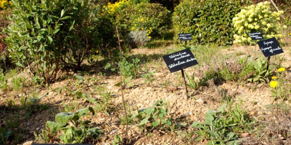
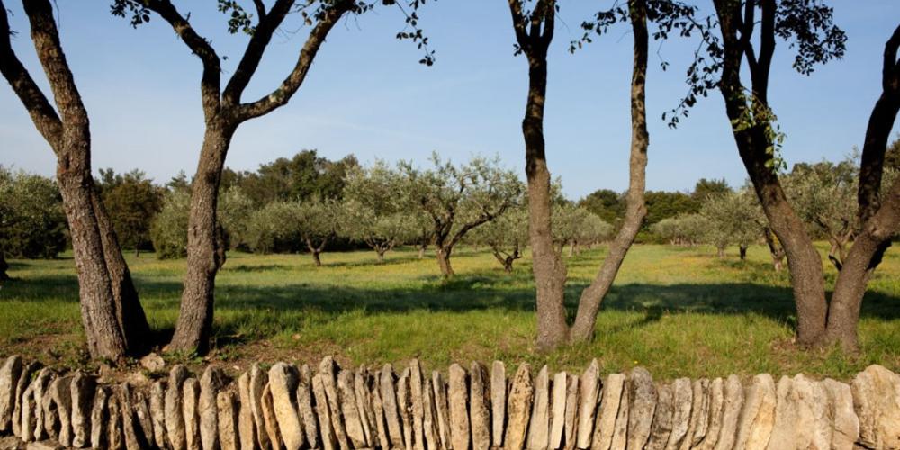
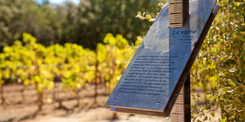
V.M: Here, as with a lot of other sites, the substrata is key. One bank (the right one) is made of urgonian limestone, a very hard limestone, almost uniquely populated with holm oaks, with a strong, deep root system. The left bank is molassic limestone. This is a soft, fossil-rich limestone, covered with a layer of topsoil, ideal for rain-fed crops such as cereals, vines, olive, almond and cherry trees etc.
Between the two banks, you have the Gardon, a capricious river - as so many Mediterranean rivers are - which, although, almost dry in summer, becomes capable of sweeping away everything in its path during autumn's floods.
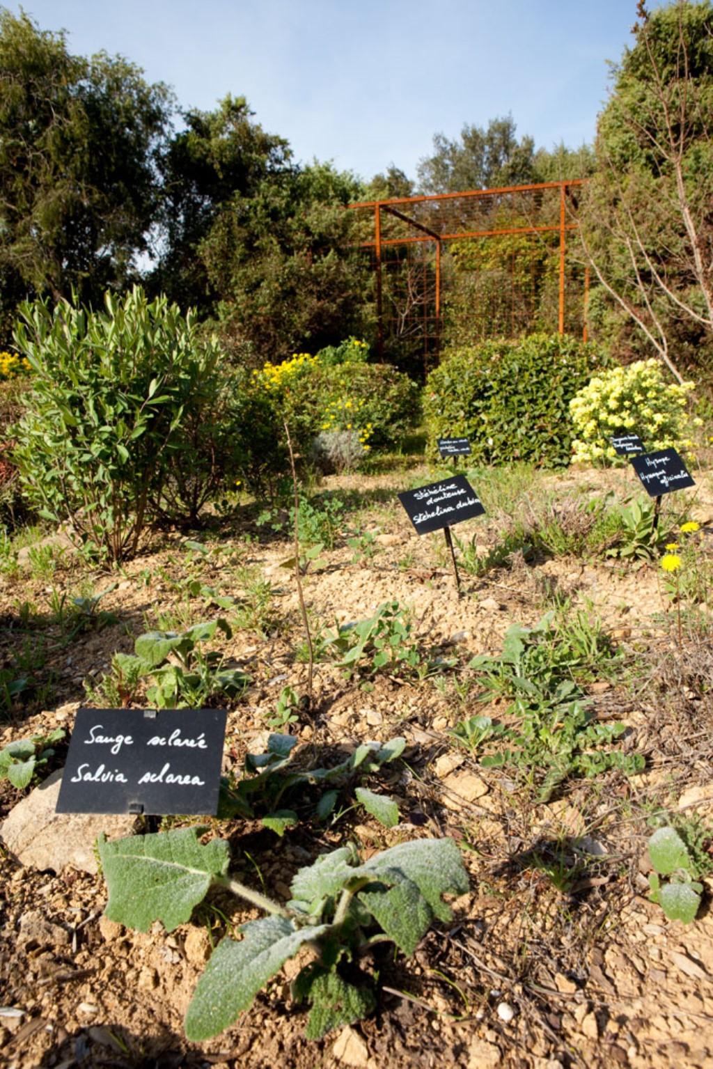
Upstream you have the canyons. Downstream you have the plain. It's a strategic location, chosen by the Romans as the crossing point for the Gardon river, where they constructed a series of gigantic arches, supported by sections of rock mass, at the entrance to the gorge.
How do your development goals help promote sustainable development?
Our development project quite quickly became part of a sustainable development approach, based around three cornerstones - environmental, social and economic - culminating in the site being awarded the "Grand Site de France" label in 2004.
- Protecting the environment, landscape and heritage through a process of regeneration and enhancing the different areas that make up the site.
- Welcoming the public and giving them the necessary tools to understand the site, providing services essential for a successful visit and creating indoor and outdoor cultural spaces.
- Developing the local economy.
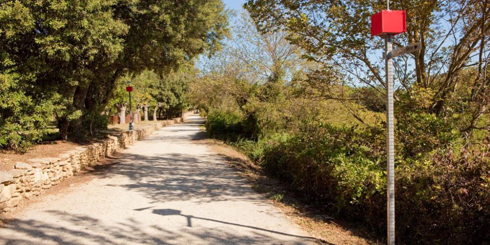
The programme to redevelop the main walkway and parking around the monuments are one example of such an approach. We incorporate infrastructure, signposting and lighting, that respects and enhances the site, creating a high quality visitor experience for all.
